


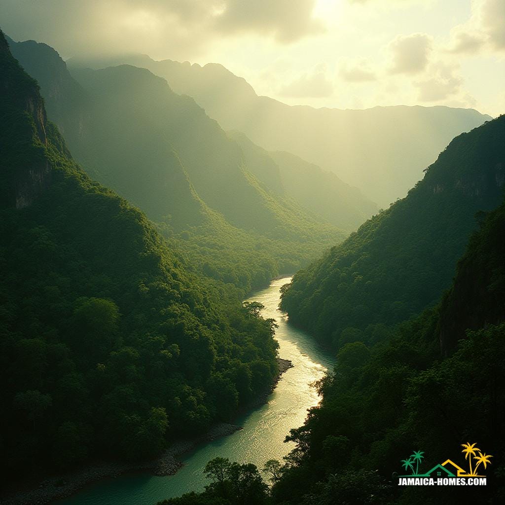
Geomorphology is the scientific study of landforms, including their origins, processes, and the forces that shape them over time. This field explores how mountains, valleys, coastlines, and other physical features are formed and transformed by natural forces like wind, water, tectonics, and erosion. In Jamaica, geomorphology is critical for understanding the island’s unique topography, from its coastal cliffs to its mountainous interior, and it informs land-use planning, real estate development, and disaster preparedness. Knowledge of geomorphology helps developers identify stable building sites, manage erosion risks, and plan for storm resilience, especially in areas prone to landslides or flooding. Around the world, geomorphology provides essential insights for sustainable development and environmental conservation, ensuring that construction and urban planning respect natural landscapes and mitigate risks associated with geological features. In real estate, understanding geomorphol…
